E
WildlifeEtosha National Park
Waterholes that fill with game
Namibia's great park, where the bush thins out around a string of waterholes and the game comes to you — lion, elephant, rhino and rows of springbok at dusk.
0 storiesNamibia
Desert and river in one country
7 places members cross for
Desert and river in one country: the Zambezi flood plains up north, then Etosha, the Namib dunes and the cold Atlantic coast further south.
Reached from the Zambian side at Katima Mulilo, or from Botswana at the Ngoma border post.
Katima Mulilo
Namibia's tropical river strip
The narrow arm of Namibia that runs along the Zambezi, with riverside camps, good tigerfish water and flood plains that fill in the rainy season.
Plan it as an overnight stop on a longer loop rather than a day trip from the Falls.
Kongola
The quiet corridor to the north
The unfenced park that lines the Caprivi corridor, lightly visited and full of elephant, buffalo and, if you are lucky, wild dog.
Self-drivers should take it slowly — the animals cross the tar road and the bush is right up against it.
Etosha
Where the waterholes do the work
One of Africa's great parks, built around a vast white pan — you park at a waterhole and the game comes to you, hour after hour.
Stay inside the park if you can, so you are at a waterhole at first light instead of driving in from outside.
Sesriem
Red dunes and a white pan
The towering red dunes of the Namib, with the cracked white clay of Deadvlei and its black camelthorn skeletons at the far end.
Be at the gate before sunrise — by mid-morning the heat and the flat light take the drama out of the dunes.
Swakopmund
Dunes on one side, cold sea on the other
A seaside town with German-era buildings between the Namib dunes and the Atlantic, plus desert-living tours and flights up the shipwreck coast.
Take a layer — the Atlantic fog and wind make it far colder than the rest of the country.
Khorixas
Desert elephants and ancient engravings
Burnt-red mountains and gravel plains where desert-adapted elephants roam, and the Twyfelfontein rock engravings record thousands of years of life here.
Ask your guide about the desert elephants' range before driving — they move a long way between water points.
Southern Namibia
The continent's biggest canyon
One of the largest canyons in the world, a vast silent gash in the plateau with viewpoints along the rim and a famous multi-day hike through it.
It is a long way south of the Falls — treat it as its own trip, and only hike the trail in the winter season.
The same directory the Spot Finder reads: open a spot for its photos and stories, save it for later, or put it straight into a trip plan.
Waterholes that fill with game
Namibia's great park, where the bush thins out around a string of waterholes and the game comes to you — lion, elephant, rhino and rows of springbok at dusk.
Red dunes over a white pan
The Namib's tallest dunes above a white clay pan, with the black skeletons of camelthorn trees that have stood there for centuries.
Desert town on a cold coast
A German-built town between the dunes and the Atlantic, with the wreck-strewn coast running north and the desert opening east.
Crossed into Namibia? Share what you saw and you will start its story list off.
Share a story from NamibiaBusinesses based in Namibia, most followed first.
Run tours, drive transfers or host stays in Namibia? A listing is free and it puts you in front of everyone planning a trip here.
List your businessRoute map
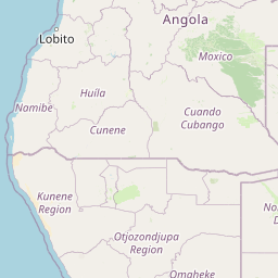
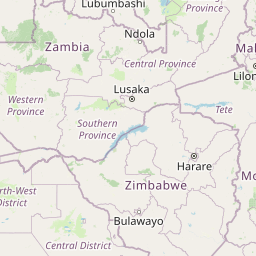
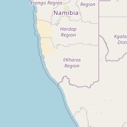
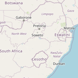
The stops members string together out of Victoria Falls, in order, with the distance between each one. Tap a pin for what that leg involves.


Victoria Falls
Zimbabwe · the start
Route start — the falls and the bridge
Katima Mulilo & the Zambezi Region
Katima Mulilo
≈ 210 km · about 3 h 15 min driving
Bwabwata National Park
Kongola
≈ 140 km · about 2 h driving
Etosha National Park
Okaukuejo
≈ 950 km · about 14 h 45 min driving
Damaraland & Twyfelfontein
Khorixas
≈ 270 km · about 4 h driving
Swakopmund & the Skeleton Coast
Swakopmund
≈ 280 km · about 4 h 30 min driving
Sossusvlei & Deadvlei
Sesriem
≈ 290 km · about 4 h 30 min driving
Fish River Canyon
Southern Namibia
≈ 470 km · about 7 h 15 min driving
Namibia from Victoria Falls: ≈ 2610 km · about 40 h of driving
Estimates only — measured as the crow flies with a road allowance, at an average speed that includes border posts and fuel stops. Confirm current roads, water levels and flying times in the forum before you commit.
Kasane to Ngoma Bridge: Botswana to Namibia
Namibia is a two-border trip from Victoria Falls, whether you fly or drive the corridor.